
Harper (Liberia)
| Harper | |||
|---|---|---|---|
|
|||
| Coordinates | 4 ° 22 ′ N , 7 ° 43 ′ W | ||
| Basic data | |||
| Country | Liberia | ||
| Maryland | |||
| ISO 3166-2 | LR-MY | ||
| height | 10 m | ||
| Residents | 17,837 (2008) | ||
 Partial view
|
|||

The town of Harper is located on Cape Palmas , the most south-westerly point of the Republic of Liberia and at the same time the most southerly point in West Africa .
description
Harper is a small port town and administrative center of Maryland County , near the border with the Ivory Coast . The cliff-rich and rocky coastal region around Harper ( Kongo Rock , Henderson Rock , Billy Rock ) with the mouth of the Hoffman River offered drinking water and two sheltered anchorages. To the southeast, a narrow, almost ten kilometer long strip of dunes forms a natural dam that separates the Lake Sheperd lagoon from the open sea. Harper includes the suburbs of Old Kru Town and Tubman Town, as well as a small airfield.
history
_1.54_Cape_Palmas_-_Map.jpg)
The place name Harper recalls the US politician General Robert Goodloe Harper (1765-1825), who was a supporter of the Maryland Colonization Society , which founded the Maryland colony in Liberia on the West African coast on February 12, 1834 . The colonists chose the natural harbor on Cape Palmas as a settlement and trading post, from which the first city of the colony developed by 1850.
Thanks to the port, Maryland was an economically successful colony and gained state independence on May 29, 1854. Already on March 18, 1857 the independence was given up and the only president of this republic - Boston Jenkins Drayton - signed the accession treaty to the state of Liberia together with Joseph Jenkins Roberts . This merger was received as Kru was designated civil war ahead of the numerically small group of settlers would not have survived without the military support of Liberians own estimation.
During the negotiations at the Berlin Congress of 1885, the previously indefinite course of the borders between the Republic of Liberia and the French and British colonial areas in West Africa was fixed by constitutional law. The coastline east of Cape Palmas, an essential part of the former colony of Maryland, was claimed by France and added to the colony of French West Africa .
_b_378.jpg)
After the First World War , the importance of the region around Cape Palmas continued to decline; the economic basis was traditionally fishing and palm oil extraction . In the 1930s, some rubber plantations were established in the hinterland , and the port of Harper was also used to handle tropical timber.
The important Liberian President William S. Tubman was born in Harper in 1895. He also promoted his hometown in terms of cultural policy by founding the William S. Tubman Library .
The population of the city of Harper was 17,837 on the reference date (2008).
Attractions
Harper has several testimonies and historical monuments from the 19th century, including the Masonic Temple and the memorial to former Governor John Brown Russwurm. Many buildings were damaged and looted during the civil war .
Personalities
- Gustav Nachtigal (1834–1885), German Africa explorer , died on the journey home from Cameroon at sea and was buried on April 21, 1885 at Cape Palmas . In 1888 the remains were transferred to Cameroon.
- John Brown Russwurm , Liberian politician and first Governor of Maryland .
- Philipp Schönlein , Swiss traveler to Africa, died on January 8, 1856 in Cape Palmas - now Harper - after doing botanical and geographical studies in the coastal region and in the hinterland of Cape Palmas for several weeks .
sons and daughters of the town
- William S. Tubman (1895–1971), former President of the Republic of Liberia
literature
- JW Lugenbeel: The republic of Liberia: its geography, climate, soil and productions, with a history of its early settlements . GS Stockwell, New York 1868, p. 299 ( books.google.de ).
- Hayti and Liberia . In: The Maryland Colonization Society (Ed.): Maryland Colonization Journal . tape 2 . Baltimore 1843, p. 384 ( books.google.de ).
Web links
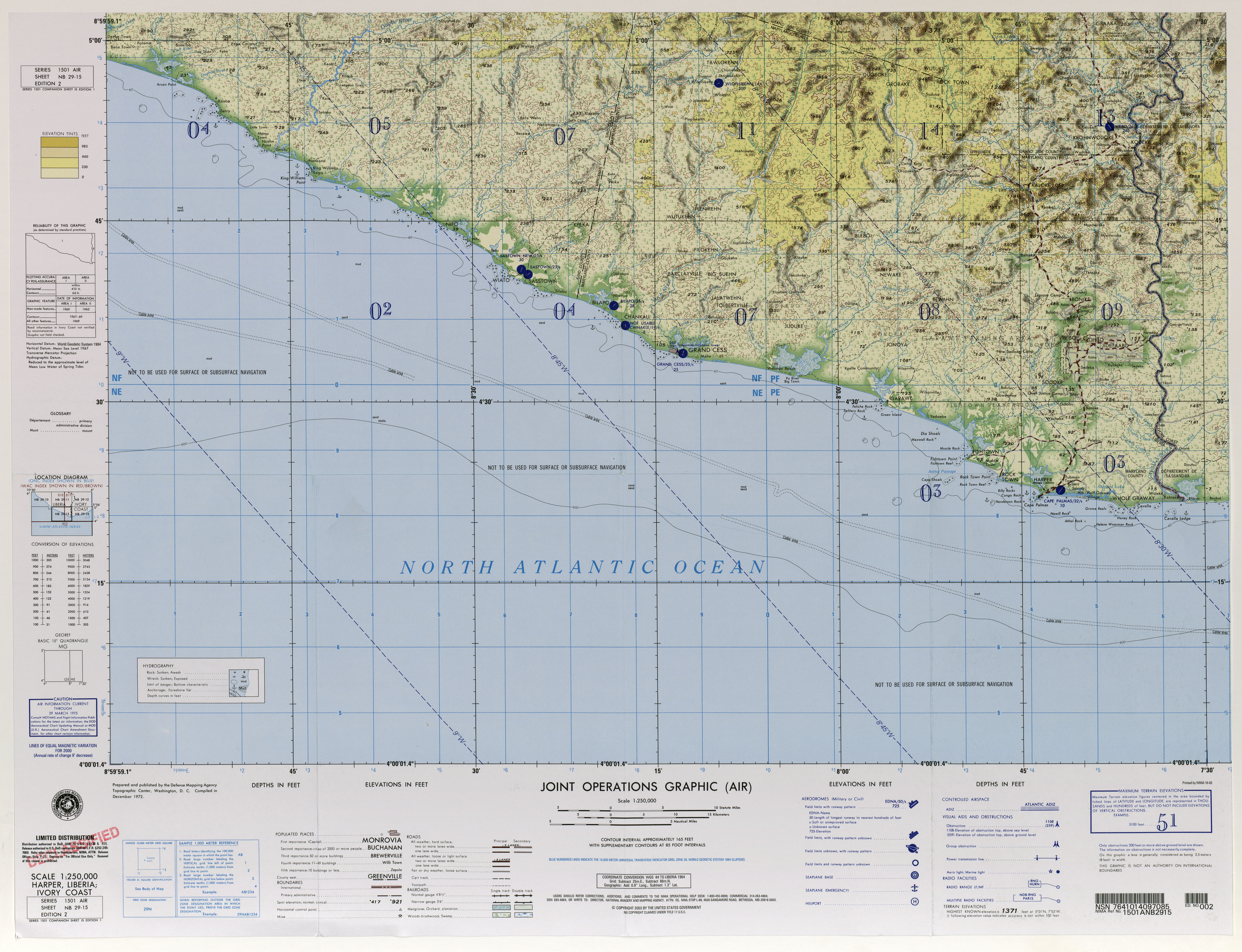
- University of Texas US Military Map Collection : TK250, Maps of Africa, Liberia. Sheet NB 29-15. (JPG; 5.7 MB, English) Harper, 2nd Ed., Washington 1964.
- LiberiaDistricts.com (English)
swell
- ^ Maryland Historical Society Library: Harper-Pennington Papers, 1701-1899, MS. 431
- ↑ Liberia. In: worldstatesmen.org. Retrieved on November 12, 2010 (English, topic portal: today's and former states of the world).
- ^ Ian Brownlie: African boundaries; a legal and diplomatic encyclopaedia . London 1979, ISBN 0-903983-87-7 , Ivory Coast – Liberia, pp. 358-370 .
- ^ HE Angel: Government Archives and Record Services - the William VS Tuban Library Museum . Ed .: UNESCO. Paris 1975 ( unesdoc.unesco.org [PDF; 2.7 MB ]).
- ↑ Final results of the 2008 census, NPHC 2008 Report Final. (PDF; 676 kB) In: Liberian Institute of Statistics and Geo-Information-Systems (LISGIS). Retrieved October 11, 2010 .