
Kansas River
|
Kansas River Kaw |
||
 Kansas River basin |
||
| Data | ||
| Water code | US : 485184 | |
| location | Kansas (USA) | |
| River system | Mississippi River | |
| Drain over | Missouri River → Mississippi River → Gulf of Mexico | |
| Confluence of |
Republican River and Smoky Hill River near Junction City 39 ° 3 ′ 36 ″ N , 96 ° 48 ′ 5 ″ W |
|
| Source height | 318 m | |
| muzzle | at Kansas City in the Missouri River coordinates: 39 ° 6 ′ 55 " N , 94 ° 36 ′ 38" W 39 ° 6 ′ 55 " N , 94 ° 36 ′ 38" W |
|
| Mouth height | 219 m | |
| Height difference | 99 m | |
| Bottom slope | 0.36 ‰ | |
| length | 274 km | |
| Left tributaries | Big Blue River | |
| Big cities | Topeka | |
 The Kansas River near De Soto , Kansas |
||
The Kansas River (or Kaw ) is a 274 km long right tributary of the Missouri River in the northeast of the US state of Kansas . It was named after the Kaw people who once lived on its banks.
The river begins at the confluence of the Republican River (679 km long) and Smoky Hill River (900 km) near Junction City . It flows eastward via Manhattan , Topeka (capital of Kansas) and Lawrence and flows into the Missouri River at the eastern state border near Kansas City .
Its major tributaries include the Big Blue River and the Solomon River .
Web links
- EPA: The Kansas River Watershed Enhancement Initiative
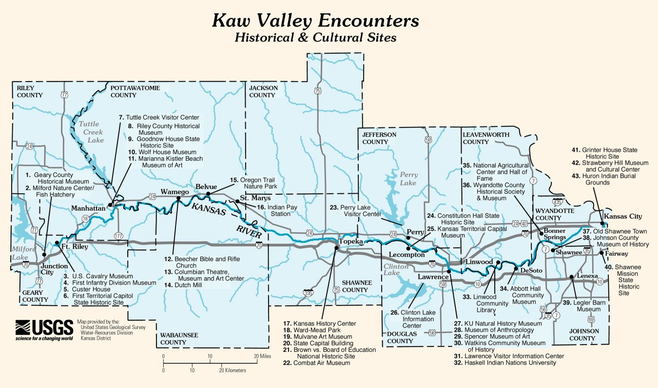
- USGS: Map of Historical and Cultural Sites along the Kaw Valley (221 kB)
Individual evidence
- ↑ USGS - GNIS - Republican River
- ↑ USGS - GNIS - Kansas River