Solder gap
| Solder gap | |||
|---|---|---|---|
|
Lötschenlücke with Hollandiahütte to the left of the saddle and Langgletscher |
|||
| Compass direction | southwest | Northeast | |
| Pass height | 3170 m above sea level M. | ||
| Canton | Valais | ||
| Watershed | Lonza ( Rhone ) | Massa ( Rhone ) | |
| Valley locations | Anenhütte , Blatten (Lötschen) | Konkordiahütte , Blatten near Naters | |
| expansion | Alpine transition | ||
| Mountains | Bernese Alps | ||
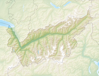
| Map (Valais) | |||
|
|
|||
| Coordinates | 640314 / 147207 | ||
The Lötschenlücke is a heavily glaciated mountain pass in the Valais Alps, the height of which is around 3,170 m . Located between the Mittaghorn and Anugrat in the north-west and the Sattelhorn and Aletschhorn in the south-east, the Lötschenlücke represents a transition from the Lötschental to the Konkordiaplatz on the Great Aletsch Glacier , which mountaineers use a lot . It is crossed on the popular ski tour (Lötschentour) from the Jungfraujoch to Blatten . To the west, the Langgletscher flows from the top of the pass into the Lötschental. To the east of the saddle lies the Aletschfirn, one of the large tributary glaciers that feed the Aletsch Glacier, which flows into the Rhone Valley .
A little above the Lötschenlücke on a ledge of the Anugrats lies the Hollandiahütte ( 3240 m ), a high alpine base of the SAC for mountaineers and ski tourers.
Web links
- Lötschenlücke on the ETHorama platform

