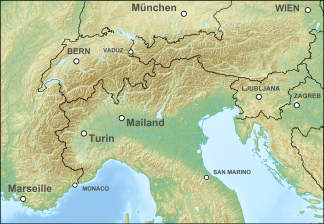
Lavanttal Alps
| Lavanttal Alps | ||
|---|---|---|
| Highest peak | Zirbitzkogel ( 2396 m above sea level ) | |
| location | Styria , Carinthia in Austria ; Slovenia | |
| part of | Central Alps , Alps | |
| Classification according to | AVE 46b | |
|
|
||
| Coordinates | 47 ° 4 ' N , 14 ° 57' E | |
The Lavanttal Alps are a mountain range in the Austrian and Slovenian central eastern Alps between the Mur and Drava .
The Lavanttal Alps include:
The templates west of the Mur, some of which are already outside the Alps , are assigned to the foothills of the Alps in the southeast :
They are named after the central Lavant valley in Carinthia. Except for the Seetal Alps in the direction of the Upper Murtal , the Lavanttal Alps form the western part of the Styrian Rand Mountains , which is not geologically but orographically defined. They are also becoming obsolete - with no geological basis - combined with the Gurktal Alps to the west to form the Noric Alps . The international standardized orographic division of the Alps (SOIUSA / IVOEA) leads 19.II Lavanttaler Alpen i. e. S. - in the sense of the mountains around the Lavanttal - including the Guttaringer Bergland (according to AVE Gurktaler Alpen), the rest of the mountains fall into 20.A Western Styrian Randgebirge .
Web links
Individual evidence
- ^ Entry on Noric Alps in the Austria Forum (in the AEIOU Austria Lexicon ); hence the AVE no. 46b of the old group 46 of the Moriggl division from 1924 (and 46a for the Nockberge , the eastern Gurktal Alps and the western Noric Alps, respectively)
