Patkai
| Patkai Mountains | ||
|---|---|---|
|
Patkai Mountains seen from the Pangsau Pass |
||
| Highest peak | Saramati ( 3826 m ) | |
| location | Myanmar , India | |
|
|
||
| Coordinates | 25 ° 30 ′ N , 94 ° 45 ′ E | |
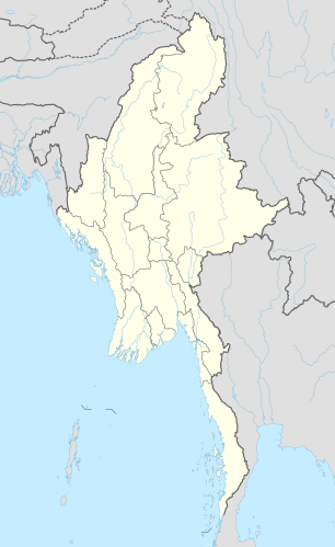
The Patkai Mountains (also known as the Purvanchal Mountains ) is a mountain range on the border between India and Myanmar (Burma) and forms one of the southeastern foothills of the Himalayas .
The border between India and Myanmar partially runs over the ridge of the mountains. The Arakan-Joma Mountains join to the south of the Patkai Mountains .
The mountains of Patkai sometimes reach heights of over 3000 m . The highest peaks include Saramati ( 3826 m ), Mol Len ( 3088 m ) and Japvo ( 3014 m ). The mountains are mainly forested with pine and teak .

