Sand Springs Range
| Sand Springs Range | ||
|---|---|---|
| Highest peak | Big Kasock Mountain ( 2180 m ) | |
| location | Churchill County , Nevada (USA) | |
|
|
||
| Coordinates | 39 ° 6 ′ N , 118 ° 21 ′ W | |
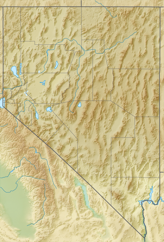
The Sand Springs Range is a small mountain range in western Nevada in the Great Basin . The area is approximately 20 miles long and is located in Churchill County .
The Sand Springs Range was the test area for Project Shoal , an underground nuclear weapon test as part of the Vela Uniform . Shoal was a bomb with an explosive force of 12 kT that detonated about 369 m below the ground on October 26, 1963.
Individual evidence
- ^ Project Shoal Area. Nevada Division of Environmental Protection, archived from the original on March 7, 2012 ; Retrieved July 5, 2012 .
