Ugljan
| Ugljan | ||
|---|---|---|
| Ugljan (in the background) | ||
| Waters | the Adrian Sea | |
| Geographical location | 44 ° 8 ′ N , 15 ° 6 ′ E | |
|
|
||
| length | 22 km | |
| width | 3.8 km | |
| surface | 51.04 km² | |
| Highest elevation | Šćah 288 m |
|
| Residents | 6182 (2001) 121 inhabitants / km² |
|
| main place | Ugljan (place) | |
| Situation map | ||
Ugljan is a Croatian island in the Adriatic Sea .
geography
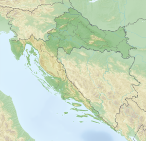
Ugljan is located in the Zadar archipelago northwest of the island of Pašman . It is separated from the mainland by the Zadar Canal . The island has an area of 50.04 km² (length 22 km, width up to 3.8 km) and 6182 inhabitants (2001 census). A bridge over the Zdrelac strait connects it with Pašman. The settlements of Ugljan are located along the northeastern bank. The southwest coast is steep and almost inaccessible.
The part of the island consisting of limestone rocks is predominantly overgrown with maquis , while cultivation areas predominate in the area on dolomite rock. Larger bays are Muline in the northwest and Lamjana vela and Lamjana mala in the southeast. The east coast slopes gently towards the sea and is divided into small bays.
Ugljan is one of the most densely populated islands in Croatia.
history
The island has been inhabited since the Younger Stone Age and was first mentioned in 1325 . During Roman times it was densely populated, especially in the north-western part, where many remains of ancient buildings were discovered. Today's localities go back to the Middle Ages . Fort St. Michael is located on Ugljan .
The island has seven places: Ugljan (place) , Lukoran , Sutomišćica , Poljana , Preko , Kali and Kukljica .


