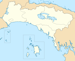
Calzada de Amador
| Calzada de Amador | ||
|---|---|---|
|
Coordinates: 8 ° 56 ' N , 79 ° 33' W Calzada de Amador on the map of Panama
|
||
| Basic data | ||
| Country | Panama | |
| Andandor | District of Panama City | |
| Detailed data | ||
| see article | ||
La Calzada de Amador (Spanish: la calzada - German: paved road), also known as the Causeway , is the name of a dam that lies at the southern entrance of the Panama Canal .
The causeway was heaped up from overburden during the construction of the Panama Canal and in the past served as a supply route for a military base. Around 18 million cubic meters of solid rock were used.
The approximately 1.8 km long dam connects four small islands with the mainland. In the Bay of Panama, starting from the Amador district of Panama City , the causeway leads to the islands of Naos , Perico , Culebra and Flamenco . On the causeway is a center for large events, the Marine Exhibition Center of the Smithsonian Tropical Research Institute (STRI) and a pier for crossings to Isla Taboga . Numerous small shops, bike rentals and restaurants line the cobbled sidewalk along the narrow causeway. It is attractive to both locals and tourists and is used by cyclists, inline skaters, joggers, walkers and strollers.
For some years now, cruise ships have also been docking to allow tourists to shop for duty-free.
swell
- Mellander, Gustavo A. (1999): The Panama Years ; Puerto Rico: Editorial Plaza Mayor; ISBN 1-56328-155-4 OCLC 42970390
- Website about Causeway (German)
