Cueva del Agua
| Cueva del Agua
|
||
|---|---|---|
|
Access opening, right on the RM-E22 road |
||
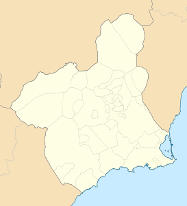
| Location: | Isla Plana, Bahia de Mazarron , Region of Murcia , Spain |
|
|
Geographic location: |
37 ° 34 '34.9 " N , 1 ° 13' 11.8" W | |
|
|
||
| Type: | Karst cave | |
The Cueva del Agua is a karst cave in southern Spain, in the village of Isla Plana on the Mediterranean coast. From the cave entrance on the surface of the earth a steep descent leads about 30 m down to a large cathedral. A stationary pulley enables the extensive diving equipment to be transported. The extensive and widely ramified cave system that begins there is filled with still fresh water, which is already over 20 ° on the surface and around 30 ° C in the deeper areas. The view is crystal clear, as long as it is not clouded by turbulent sediments.
The cave system is a labyrinth of galleries, syphons and partially anhydrous chambers, it has been explored for about 30 years and is considered one of the most interesting and dangerous in Spain. During this time, several experienced cave divers died there, as evidenced by memorial plaques at the cave entrance. In some cases, the cause is suspected to be that the ventilation system in the inner domes, with their very low-oxygen atmosphere, has been removed.
There are caves of the same name at Dénia ( Cova de l'Aigua ) and Iznalloz .
Web links
- Video report, description (partly in German)
- Picture and text (english)
- Videos, planimetry, history (Spanish)
- Accident report (Spanish)

