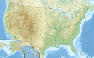
Sandia Mountains
| Sandia Mountains | ||
|---|---|---|
| Highest peak | Sandia Crest ( 3255 m ) | |
| location | New Mexico (USA) | |
|
|
||
| Coordinates | 35 ° 13 ′ N , 106 ° 27 ′ W | |
The Sandia Mountains are located east of the city of Albuquerque in the US state of New Mexico . The highest mountain in this mountain range is the Sandia Crest with a height of 3255 m. The more touristically important mountain is the Sandia Peak (2957 m). Starting from Sandia Peak, the (currently) second longest cable car in the world, the Sandia Peak Tramway , leads to the plain on which Albuquerque is located. There is a restaurant and many picnic areas at the cable car's summit station. On the other side of the mountain, another cable car, which is, however, much shorter, leads down the mountain.
The Sandia Mountains are ideal for a wide range of leisure activities, including mountain biking, hiking and, in winter, skiing. The name originally comes from Spanish and means watermelon. Probably the first Spanish explorers gave the mountains this name because of the red shimmer of the mountains at sunset.
Web links
- http://www.sandiapeak.com/ (Sandia Peak Ski & Tramway)
- http://www.virtualalbuquerque.com/VirtualABQ/SandiaPeakTramway/ (3D panorama and video of the cable car)

