Zavoj lake
| Zavoj lake | |||||||
|---|---|---|---|---|---|---|---|
| The Zavoj lake | |||||||
|
|||||||
|
|
|||||||
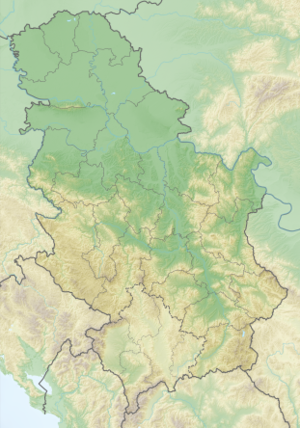
| Coordinates | 43 ° 16 ′ 0 ″ N , 22 ° 38 ′ 0 ″ E | ||||||
| Data on the structure | |||||||
| Data on the reservoir | |||||||
| Water surface | 5.53 km² | ||||||
| Reservoir length | 16.35 km | ||||||
| Reservoir width | 1 km | ||||||
| Storage space | 170 million m³ | ||||||
| Catchment area | 584 km² | ||||||
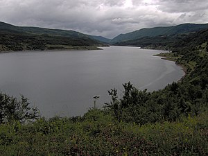
The Zavoj Lake (Serbian Zavojsko jezero or Завојско језеро ) is a reservoir on the Visočica River in eastern Serbia . It is located at the foot of the Stara Planina (Balkan Mountains), has an area of around 5.5 km² and a maximum depth of 60 m. The water level is 612 m above sea level.
The reservoir was created in the summer of 1963 when large amounts of earth dammed the river after a landslide. As the resulting 50 m high dam threatened to break, the army built a dam wall. Since then, the lake has also been used to generate electricity. The village of Zavoj was flooded by the damming of the Visočica. This is how the lake got its name.

