Nimbaberge
| Nimbaberge | ||
|---|---|---|
| Highest peak | Mont Richard-Molard ( 1752 m ) | |
| location | Liberia , Ivory Coast , Guinea | |
|
|
||
| Coordinates | 7 ° 34 ′ N , 8 ° 28 ′ W | |
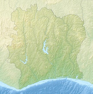
The Nimbaberge are up to 1752 m high and about 40 km long mountain range in West Africa .
The Nimbaberge lie in the border area of the countries Liberia , Ivory Coast and Guinea . Its highest point is the 1752 m high Mont Richard-Molard , which lies exactly on the border of the Ivory Coast and Guinea and is the highest point in both countries. Its highest point in Liberia is 1384 m. With the Cavalla , the Saint John and the Cestos, three of the largest rivers in Liberia have their source in the Nimbabergen.
All three countries have declared parts of the Nimbaberge to be nature reserves, and the Réserve naturelle intégrale du Mont Nimba , established around Mount Nimba , has been a UNESCO World Heritage Site since 1981 .
See also
Individual evidence
swell
- MOUNT NIMBA STRICT NATURE RESERVE - UN document (PDF, English; 368 kB)
- Meyer's large pocket dictionary in 24 volumes . BI-Taschenbuchverlag 1992, Volume 15, p. 292
- Nimba Range in the Encyclopædia Britannica
