
Saburai
| Saburai | |||

|
|||

|
|||
| Data | |||
| surface | 31.63 km² | ||
| population | 2,268 (2015) | ||
| Chefe de Suco | Vicente do Santos (election 2016) |
||
| Aldeias | Population (2015) | ||
| Cossal | 727 | ||
| Mabiloa | 650 | ||
| Tazmasac | 891 | ||
|
|||

Saburai ( Sebura ) is an East Timorese place and Suco in the administrative office of Maliana ( Bobonaro municipality ).
The place
Saburai is located in the south of the Sucos at an altitude of 1524 m above sea level. The place has an emergency helipad and a medical emergency post.
The inhabitants belong to the Bunak ethnic group .
The Suco
| Saburai | ||
| places | position | height |
| Hoololo | 9 ° 5 ′ S , 125 ° 12 ′ E | 1328 m |
| Saburai | 9 ° 2 ′ S , 125 ° 15 ′ E | 1524 m |
2268 inhabitants (2015) live in Suco, 1106 of them are men and 1162 women. The population density is 71.7 inhabitants / km². There are 471 households in the Suco. About 95% of the population name Bunak as their mother tongue. Tetum Prasa and a small minority speak Atauru, less than 5% .
Before the 2015 territorial reform, Saburai had an area of 26.99 km². Now it is 31.63 km². The Suco is located in the south of the Maliana administrative office. In the north is the Suco Tapo / Memo and in the northeast the Sucos Lahomea and Ritabou . To the southeast lies the administrative office of Bobonaro with its Sucos Tapo and Leber and to the south the administrative office of Lolotoe with its Suco Gildapil . In the west Saburai borders on the Indonesian West Timor . The border is formed by the Matihaca River. In addition to the town of Saburai, there is only a larger settlement on the southwest border to Gildapil, the village of Hoololo . The Suco has only limited traffic. Only a small road leads from the south to Hoololo, another crosses the northeast, past the town of Saburai. For the parliamentary elections in East Timor in 2007 , the ballot boxes had to be transported to the polling station by horses and porters.
In the Suco are the three Aldeias Cossal , Mabiloa and Tazmasac .
politics
In the elections of 2004/2005 was António Borges elected Chefe de Suco and in 2009 re-elected. In the elections in 2016 won Vicente do Santos .
Web links
- Results of the 2010 census for the Suco Saburai ( tetum ; PDF; 8.5 MB)
- Results of the 2015 census for the Suco Saburai (tetum; PDF)
- Seeds of Life: Suco information sheets Maliana (tetum)
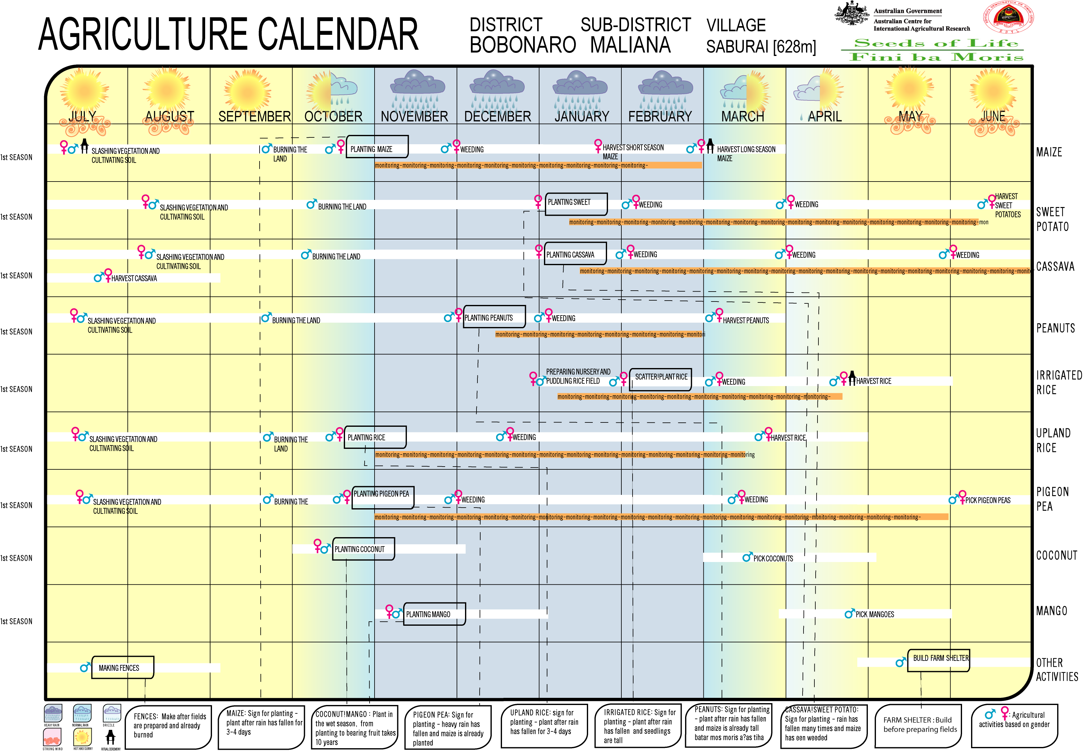
- Seeds of Life: Agriculture Calendar (English)
- Travel report from Saburai
Individual evidence
- ↑ a b c d Direcção-Geral de Estatística : Results of the 2015 census , accessed on November 23, 2016.
- ↑ UNMIT: Timor-Leste District Atlas version 02, August 2008 ( Memento of November 8, 2012 in the Internet Archive ) (PDF; 535 kB)
- ^ Democratic Governance in Timor-Leste ( Memento from March 25, 2012 in the Internet Archive )
- ↑ Fallingrain.com: Directory of Cities, Towns, and Regions in East Timor
- ↑ Results of the 2010 census for the Suco Saburai ( tetum ; PDF; 8.5 MB)
- ↑ Direcção Nacional de Estatística: Population Distribution by Administrative Areas Volume 2 English ( Memento from January 5, 2017 in the Internet Archive ) (Census 2010; PDF; 22.6 MB)
- ^ Timor-Leste GIS-Portal ( Memento from June 30, 2007 in the Internet Archive )
- ↑ List of polling stations for the parliamentary elections in East Timor 2007 (PDF file; 118 kB)
- ↑ Jornal da Républica with the Diploma Ministerial n. 199/09 ( Memento of February 3, 2010 in the Internet Archive ) (Portuguese; PDF; 323 kB)
- ↑ Secretariado Técnico de Administração Eleitoral STAE: Eleições para Liderança Comunitária 2004/2005 - Resultados ( Memento of August 4, 2010 in the Internet Archive )
- ↑ Secretariado Técnico de Administração Eleitoral STAE: Eleições para Liderança Comunitária 2009 - Resultados ( Memento of August 4, 2010 in the Internet Archive )
- ↑ Jornal da República: Lista Naran Xefe Suku Eleito 2016 , December 2, 2016 , accessed on June 17, 2020.
![]() Map with all coordinates: OSM | WikiMap
Map with all coordinates: OSM | WikiMap
The administrative borders within East Timor changed in 2015. This article must therefore be checked and updated if necessary. See New Administrative Boundaries .