Bugaksan: Difference between revisions
Content deleted Content added
this photo is so sickkk |
gallery |
||
| Line 31: | Line 31: | ||
== Gallery == |
== Gallery == |
||
{{Gallery |
|||
|File:Hauptstrasse und Palasttor in Seoul.jpg |
|||
|Late 19th century photograph of Bugaksan and [[Gwanghwamun]] |
|||
|File:Bugaksan 20161116 03 (30900867212).jpg |
|||
|View from the mountain looking north (2016) |
|||
}} |
|||
==See also== |
==See also== |
||
Revision as of 11:25, 17 August 2023
| Bugaksan | |
|---|---|
 Bugaksan overlooking the former royal palace Gyeongbokgung (2008) | |
| Highest point | |
| Elevation | 342 m (1,122 ft) |
| Geography | |
| Korean name | |
| Hangul | |
|---|---|
| Hanja | |
| Revised Romanization | Bugaksan |
| McCune–Reischauer | Pugaksan |
| Alternate name | |
| Hangul | 백악산 |
| Hanja | 白岳山 |
| Revised Romanization | Baegaksan |
| McCune–Reischauer | Paegaksan |
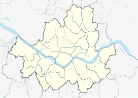
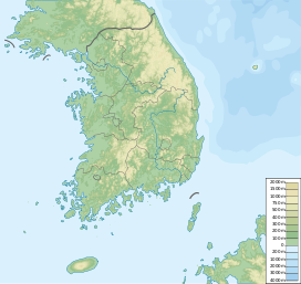
Bugaksan (Korean: 북악산) is a mountain north of the former royal palace Gyeongbokgung in Seoul. The mountain is also known as Baegaksan. Inwangsan, Naksan, and Namsan are the mountains that surround the Seoul Basin. The bedrock is granite and is about 342 meters (1,122 ft) high.[1]
Gallery
-
Late 19th century photograph of Bugaksan and Gwanghwamun
-
View from the mountain looking north (2016)
See also
References
37°36′22″N 126°59′00″E / 37.60611°N 126.98333°E


