Tambolaka
Tambolaka (Waitabula) | |
|---|---|
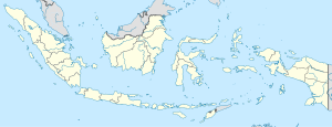
Location in Indonesia | |
| Coordinates: 9°26′S 119°14′E / 9.433°S 119.233°E | |
| Country | Indonesia |
| Region | Lesser Sunda Islands |
| Province | East Nusa Tenggara |
| Regency | Southwest Sumba |
| Population (2015 Census) | |
| • Total | 39,065 |
| Time zone | UTC+8 (WITA / UTC) |
Kota Tambolaka (Tambolaka city) is the administrative capital of the Southwest Sumba Regency, Sumba, East Nusa Tenggara province of Indonesia. Tambolaka was in fact the name of the airport, the real former name of the city being Waitabula (sometimes written Weetabula).
Transportation
The town is served by Tambolaka Airport.


