Abutilon Island
| Abutilon Island | ||
|---|---|---|
| Satellite image of Varanus Island and Abutilon Island (bottom right) | ||
| Waters | Indian Ocean | |
| Archipelago | Lowendal Archipelago | |
| Geographical location | 20 ° 40 ′ S , 115 ° 35 ′ E | |
|
|
||
| length | 1160 m | |
| width | 400 m | |
| Highest elevation | 5 m | |
| Residents | uninhabited | |
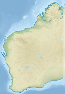
Abutilon Island is a small uninhabited island in the Indian Ocean off the coast of the Australian state of Western Australia . It is the southernmost island of the Lowendal Archipelago and is 66 kilometers from mainland Australia.
It is 1160 meters long, 400 meters wide and five meters high. The closest island is the much larger Varanus Island, 130 meters to the north . The remaining islands of the Lowendal Archipelago, including Bridled Island , are further northwest.
Individual evidence
- ↑ Abutilon Island Mapcarta.com (English). Last accessed on November 18, 2017

