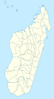
Analalava
Coordinates: 14 ° 38 ′ S , 47 ° 45 ′ E
Analalava is a small town in the north of the Sofia region , which is part of the Malagasy province of Mahajanga. According to the census, the number of inhabitants in 2001 was around 10,000 people.
geography
Analalava is located on the northwest coast of the island, at the western end of Loza Bay, an approximately 10 km long and 700–1500 m wide estuary of the Loza River. In front of the city is the island of Nosy Lava , which used to be a prison for serious criminals.
climate
The dry season lasts from May to September; it has an average of less than 25 mm of precipitation per month. The north-west monsoons gain strength in October, and the highest monthly rainfall, over 500mm, occurs in January.
Economy and Infrastructure
The main industry is fishing. Almost a third of the population works in agriculture (agriculture, livestock). The main crops are rice, coconuts and cassava . The service sector is weak (5% of all employed people).
The two most important road connections lead south to the provincial capital Mahajanga and north to Antsiranana , capital of the province of the same name.
The local airfield is located near the city.
Individual evidence
- ^ Birdlife Data Zone. In: www.birdlife.org. Retrieved August 2, 2016 .
- ^ Hilary Bradt: Madagascar: The Bradt Travel Guide . Bradt Travel Guides, 2007, ISBN 978-1-84162-197-5 ( google.com [accessed August 2, 2016]).
- ↑ LR Oldeman: An Agroclimatic Characterization of Madagascar ( English , PDF; 6.6 MB) In: IRRI-Madagascar Rice Research Project . International Soil Reference and Information Center Netherlands. 1990. Accessed on November 10, 2010. ( Page no longer available , search in web archives ) Info: The link was automatically marked as defective. Please check the link according to the instructions and then remove this notice.
