Burgumermar
| Burgumermar | ||
|---|---|---|
| Geographical location | Netherlands | |
| Data | ||
| Coordinates | 53 ° 11 '30 " N , 6 ° 2' 30" E | |
|
|
||
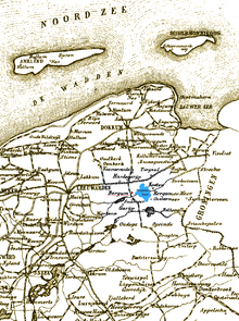
The Burgumermar is a good fishing lake east of the village Burgum in the Dutch province of Friesland (municipality Tytsjerksteradiel ). It is a popular water sports area with several marinas. The Prinses-Margriet Canal flows through the lake in an east-west direction and connects it with the waterway network. The Bergumer Meer has a circumference of approx. 11 km.
In summer u. a. the Skûtsjesilen held on the Burgumermar , a sailing competition lasting several days with z. Some of the sailing ships are over 100 years old and originally used as cargo ships (Dutch: schuitje, Frisian: Skûtsje).
There are many smaller places with sights around the lake, such as Jistrum with its church built around 1230.

