Chisi Island
| Chisi Island | ||
|---|---|---|
| Lake Chilwa and Chisi Island in a False Color Satellite Image | ||
| Waters | Chilwa Lake | |
| Geographical location | 15 ° 20 ′ S , 35 ° 37 ′ E | |
|
|
||
| Residents | 1591 (1998) | |
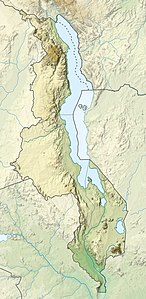
Chisi Island is an island in Lake Chilwa in Malawi . The island is located near the west bank of the lake and is the continuation of a small range of hills. In the east, Chisi borders the open water of Lake Chilwa, and the west is surrounded by flat marshland. Due to the changing water level of the lake and the shallow depth of the surrounding waters, the size of the island also changes (an average of 12–21 km²). When the water level is particularly low, Chisi Island can be reached on foot from the mainland.
About 1500 people live on the island (1591 in the 1998 census), but some of the residents do not live permanently on Chisi. About a third of the population works in agriculture, two thirds in other areas, mainly as fishermen. The majority of the people belong to the Nyanja ethnic group , the illiteracy rate is low at 13%. Various traditional rules for the sustainable use of natural resources have developed on Chisi, which have been preserved to this day due to the relative remoteness of the region. A 2007 study gathered this local knowledge.
literature
MD Kalanda-Sabola, EMT Henry, E. Kayambazinthu, J. Wilson: Use of indigenous knowledge and traditional practices in fisheries management: a case of Chisi Island, Lake Chilwa, Zomba . (PDF) In: Malawi Journal of Sci & Techn . 8, No. 009-029, December 2007. Retrieved August 28, 2012.

