Ilhéu Caroço
| Ilhéu Caroço | ||
|---|---|---|
| Oblique aerial view of the island from the northwest | ||
| Waters | Gulf of Guinea | |
| Geographical location | 1 ° 30 '47 " N , 7 ° 25' 47" E | |
|
|
||
| length | 840 m | |
| width | 550 m | |
| surface | 40 ha | |
| Highest elevation | 305 m | |
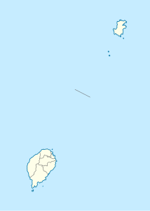
Ilhéu Caroço (English Carocho Islet , formerly also Ilheu Boné de Joquei or Dutchman's Cap ) is a small, uninhabited island in the Gulf of Guinea belonging to the West African state of São Tomé and Príncipe . It is located 2.9 km southeast of the Ponta do Pico Negro , the southeastern headland of Príncipes , and belongs to the province of the same name Príncipe.
The island is about 840 meters long and 550 meters wide. This gives an area of a good forty hectares. It rises steeply from the sea and reaches a height of 305 meters.
The island is of volcanic origin ( stratovolcano ).

