Jezioro Chełmżyńskie
| Jezioro Chełmżyńskie | ||
|---|---|---|

|
||
| Lake shore on the outskirts, only a short distance from the market square | ||
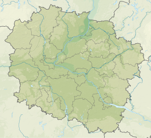
| Geographical location | City of Chełmża , Powiat Toruń , Kuyavian-Pomeranian Voivodeship , Poland | |
| Drain | Canal Miałkusz → Fryba | |
| Places on the shore | Chełmża | |
| Location close to the shore | Toruń | |
| Data | ||
| Coordinates | 53 ° 10 '36 " N , 18 ° 38' 36" E | |
|
|
||
| surface | 2.7 km² | |
| length | 6 km | |
| width | 500 m | |
| Maximum depth | 27 m | |
The Jezioro Chełmżyńskie (formerly Culmsee ) is a lake in the Polish city Chełmża in the Kujawsko-Pomorskie zoom ranges. With its two northwestern foothills, it lies in the urban area. This lake, the Culmsee , gave the city its name in 1251.
The lake is approx. 6 km long and up to 0.5 km wide. It is up to 27 m deep and has an area of approx. 2.7 km².
Web links
- Jezioro Chełmżyńskie (Polish)
- Outline map of Chelmza and Jezioro Chełmżyńskie
- more lake photos at Wikimedia
