Kataleba
Coordinates: 2 ° 17 ' N , 31 ° 40' E
Kataleba (also Kabalega) is a village in Uganda .
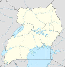
Kataleba is located in the Buliisa district , northeast of Lake Albert .
The majority of the residents of Catalonia are from the Bagungu people . Until shortly before 2011, 630 families of the semi-nomadic Balaalo people with 50,000 cattle lived in the area around Kataleba. But they were driven out by the government.
economy
Kataleba is the capital of the Kabalega Falls National Park (size: 5,025 km²), which has developed around the Murchison Falls - also known as Kabalega Falls , the Chobe Safari Lodge and the Paraa Safari Lodge . A regional airport for tourism was created on the north bank of the Albertsee. The natural idyll is threatened: petroleum was found in the Kataleba region . Tullow Oil is currently (February 2011) building its first derrick. In the vicinity of the village there is an oil field called Engege (German: fish ). Cotton is grown by the indigenous population and agricultural products are produced for the local market.
Individual evidence
- ↑ a b c d Simone Schlindwein: Election campaign over petroleum. In: the daily newspaper . February 15, 2011, accessed February 17, 2011 .
- ↑ Travel map East Africa (1: 2,000,000) . In: Ravenstein Kartographie (Ed.): International travel map . Sheet 6899. Ravenstein-Verlag, Bad Sooden / Taunus 1983, ISBN 3-87660-899-6 .
