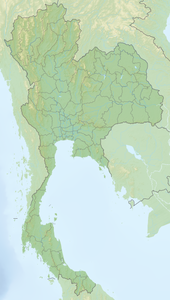
Ko Phai
| Ko Phai เกาะ ไผ่ |
||
|---|---|---|
| Waters | Gulf of Thailand | |
| Archipelago | Mu Ko Phai | |
| Geographical location | 12 ° 56 '0 " N , 100 ° 40' 30" E | |
|
|
||
| length | 4 km | |
| width | 1.5 km | |
| Residents | uninhabited | |
Ko Phai ( Thai : เกาะ ไผ่ ) is the largest island of the Mu Ko Phai (Thai: หมู่ เกาะ ไผ่ ), a small uninhabited archipelago that belongs to the east coast archipelago of Thailand . The island belongs to the Bang Lamung district of Chonburi Province .
geography
The island is located about 21 km west of Pattaya or at the southeast end of Bangkok Bay in the Gulf of Thailand . It is often referred to as "Bamboo Island".
The maximum extent of the island Ko Phai is about four kilometers, its maximum width is about 1.5 km. Ko Phai is a secluded, rugged, forested island with steep cliffs. The highest point on the island is 150 m. There is a lighthouse in the middle of the island.

