Mill bridge
Coordinates: 47 ° 22 ′ 32 " N , 8 ° 32 ′ 34" E ; CH1903: 683 384 / 247782
| Mill bridge | ||
|---|---|---|
| Mill bridge with love locks | ||
| use | Pedestrian | |
| Crossing of | Limmat | |
| place | Old town (District 1), Zurich | |
| construction | Truss | |
| Number of openings | 3 | |
| construction time | 1981-1982 | |
| location | ||
|
|
||
| Bridges in the city of Zurich | ||
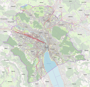
The Mühlesteg is a pedestrian bridge opened in 1982 over the river Limmat in Zurich .
history
The bridge has been crossing the Limmat since 1982 from Niederdorf on the right side of the river to Bahnhofquai on the left. The location is between the Upper Mühlesteg, demolished in 1943 (today's Rudolf-Brun-Brücke ) and the Untere Mühlesteg , demolished in 1950 , which led to the then island of Papierwerd . Most of the construction was financed with private funds. In connection with the redesign of the area with the Globus temporary structure , the Mühlesteg should have been relocated and widened, but the project was rejected in February 2019.
Love locks have been attached to the railing of the bridge since around 2012 , which is tolerated by the city administration.
Web links
- The mill bridge. In: Gang dur Alt-Züri.
Individual evidence
- ^ Katrin Schregenberger: The vanished river town . In: Neue Zürcher Zeitung . December 17, 2012 ( nzz.ch [accessed on August 25, 2019]).
- ↑ Patrice Siegrist: Is that the solution for the Globus temporary solution? In: Tages-Anzeiger . January 2, 2018, ISSN 1422-9994 ( tagesanzeiger.ch [accessed on August 25, 2019]).
- ^ Adi Kälin: Zurich: New project for the globe provisional was sunk . February 27, 2019, ISSN 0376-6829 ( nzz.ch [accessed August 25, 2019]).
- ^ Rebekka Haefeli: The «Liebebrücke» of Zurich. In: NZZ. April 25, 2013. Retrieved August 25, 2019 .


