Mohokos
| Mohokos | ||
|---|---|---|
| height | 344.4 m. i. J. | |
| location | Međimurje County , Croatia | |
| Coordinates | 46 ° 27 '14 " N , 16 ° 21' 49" E | |
|
|
||
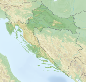
Mohokos is at a height of 344 m. i. J. the highest peak of a range of hills in the northwest of the Međimurje County in northern Croatia and the entire county. It is located in the Štrigova municipality . The range of hills (called Međimurske gorice = the Medjimurje hills ) extends in a north-west-south-east direction and is one of the easternmost foothills of the Alps .
The ridge is used for agriculture. Meadows, vineyards and orchards as well as small forests determine its appearance. At the top there is a column made of rough stone with a plate, the inscription of which translates as: "The highest geographical point in Međimurje - Mohokos 344.4 m - 26.IX.1999".
The summit is a popular destination.

