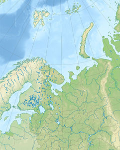
Morshovets Island
| Morshovets Island | ||
|---|---|---|
| Waters | White sea | |
| Geographical location | 66 ° 44 ′ N , 42 ° 34 ′ E | |
|
|
||
| length | 18 km | |
| width | 8.5 km | |
| surface | 110 km² | |
| Highest elevation | 27 m | |
| Residents | 12 <1 inh / km² |
|
| main place | Severni Gorodok | |
| The Morshovets island on a map of the White Sea | ||
The Morschowez Island ( Russian Остров Моржовец , Ostrow Morschowez ) is a Russian island in the White Sea . Administratively it belongs to Arkhangelsk Oblast .
geography
The Morschowez Island is located in the northeastern area of the White Sea, about 25 km off the north coast of the Eastern European Plain in the Mesenbusen . It is only a few kilometers north of the Arctic Circle . The approximately oval-shaped island is 18 km long and has an area of about 110 km². The landscape of the comparatively flat island is characterized by tundra interspersed with many small lakes and ponds . In the southwest of the Morschowez Island is a settlement of the same name.
See also
literature
- B. Vvedensky et al: Bolshaya sovetskaya enziklopedija: Tom 28 . Isd-wo Bolschaja sovetskaja enziklopedija, Moscow 1954, p. 302 (Russian)
- G. Gilbo: Sprawotschnik po istorii geografitscheskich naswani na pobereschje SSSR . Ministerstwo oborony Soiusa SSR, Glaw. upr. nawigazii i okeanografii, 1985, pp. 217-218. (Russian)


