North West Vernon Island
| North West Vernon Island | ||
|---|---|---|
| The 3 Vernon Islands from space. The northwest is the North West Vernon Island. | ||
| Waters | Timor Sea | |
| Archipelago | Vernon Islands | |
| Geographical location | 12 ° 3 ′ S , 131 ° 2 ′ E | |
|
|
||
| length | 7.2 km | |
| width | 2.5 km | |
| surface | 14.25 km² | |
| Highest elevation | 4 m | |
| Residents | uninhabited | |
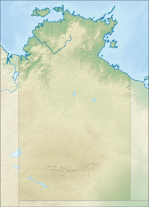
North West Vernon Island , also Northwest Vernon Island or Warabatj , is an uninhabited island in the Australian Northern Territory . It is 14.25 km² and 9.6 kilometers from mainland Australia and about 60 kilometers from Darwin .
Further north are the Tiwi Islands and to the east are East Vernon Island . Together with South West Vernon Island , the islands form the Vernon Islands . There are lighthouses on all three islands.
North West Vernon Island is located in an area where the Tiwi Aboriginal Land Trust of the Tiwi Aborigines has land rights. It is located in the Timor Sea and is part of a nature reserve called the Vernon Islands conservation area .
The island is very flat. The highest point rises four meters above sea level.
In the west of the island there is a 1.3 kilometer long sandy beach.
Individual evidence
- ↑ Vernon Islands Conservation Management Plan Tiwi Land Council (English). Last accessed on October 13, 2019
- ↑ Lighthouses of Australia: Northern Territory , on unc.edu. Retrieved July 30, 2017
- ↑ Recreational fishing on Aboriginal land , on nt.gov.au. Retrieved July 30, 2017
- ^ North West Vernon Island Geonames.org (English). Last accessed on July 23, 2017

