Plan de Turgot
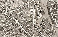
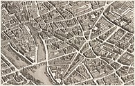
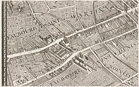
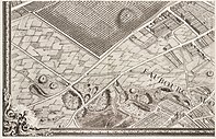
The Plan de Turgot ( French , German Plan von Turgot ) is a detailed representation of the city of Paris, which was created from 1734 to 1736 at the suggestion of the Prévôt des marchands de Paris Michel-Étienne Turgot (1690–1751), who was in office from 1729 to 1740 .
Structure of the map series
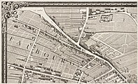
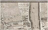
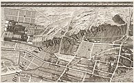
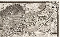
Turgot's plan of Paris was published as an atlas in 1739. The total of twenty panels show the French capital in a non-overlapping isometric view from the south-east. The Turgot plan is approximately 1: 400 in scale. The buildings, streets and squares as well as the gardens and parks of the city can be seen in a faithful reproduction of the original.
Each panel consists of a rectangular picture 50 cm high and 80 cm wide, which was folded in the middle in the atlas. The overall plan composed of the panels is 250.5 cm high and 322.5 cm wide. The atlas covers the area of what is now the first 11 arrondissements of Paris.
Origin and production history
The French architect and cartographer Louis Bretez († 1736) was allowed to enter the villas, houses and gardens to take measurements and record them. He worked on the project for two years, from 1734 to 1736. In 1736, Claude Lucas (1685–1765), engraver and member of the Académie des Sciences , began to use it to engrave the printing plates from the 21 drawn templates. The plan appeared in 1739.
literature
- Jean Boutier : Les plans de Paris des origines (1493 à la fin du XVIIIe, étude), cartobibliographie et catalog collectif , Paris, BNF, (2002) pp. 252-256
- Jean-Yves Sarazin : Le Paris des Lumières d'après le plan de Turgot (1734–1739) , with Alfred Fierro, Paris, RMN, (2005) p. 144
- Le plan de Paris dit de Turgot, Édition 2005 , fac-similé, Paris, RMN-Chapitre.com, accompagné d'une notice de 16 p. cosignée Jean-Yves Sarazin and Laure Beaumont-Maillet.


