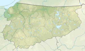
Silec (lake)
| Silec | ||
|---|---|---|
| Geographical location | In the north of the Polish Warmian-Masurian Voivodeship | |
| Tributaries | Liwna (love) | |
| Drain | Liwna | |
| Location close to the shore | Węgorzewo | |
| Data | ||
| Coordinates | 54 ° 10 '38 " N , 21 ° 31' 55" E | |
|
|
||
| surface | 1.196 km² | |
| length | 1.5 km | |
| width | 1.3 km | |
| Maximum depth | 14 m | |
The Silec [ ˈɕilɛt͡s ] (German Schülzer See ) is a lake in the Polish Warmian-Masurian Voivodeship north of the village of Silec ( Schülzen ). It has an area of 119.6 hectares with a maximum depth of 14 meters. The lake is traversed from south to northwest by the river Liwna ( love ), which rises west of the lake. The lake was created as a result of the last glacial period .
