Urriðafoss
| Urriðafoss | ||
|---|---|---|
|
The Urriðafoss |
||
| Coordinates | 63 ° 55 '30.2 " N , 20 ° 40' 21.6" W | |
|
|
||
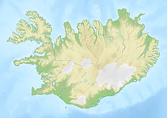
| place | Selfoss , Hella , Iceland | |
| height | 6 m | |
| width | 229 m | |
| flow | Þjórsá | |
The Urriðafoss is the most water-rich waterfall of Iceland . The river Þjórsá plunges with 360 m³ / s water to a width of about 40 m and 6 m deep. At first, large parts of the stream plunge into a crevice in front of a rock in the middle of the river, but the main stream breaks through at another point. Ice sheets up to 20 m thick can form in winter.
The waterfall is after a small turn south of the ring road in southern Iceland, about 16 kilometers east of the city of Selfoss . Despite its size, it is fairly unknown and rarely mentioned.
It is planned to build a hydropower plant below the waterfall. This could possibly mean the end of this waterfall.
See also
Individual evidence
- ↑ Urriðafoss-virkjunarkostir. Retrieved October 27, 2017 (Icelandic).


