Zdworskie lake
| Zdworskie lake | ||
|---|---|---|

|
||
| View from the East (2008) | ||
| Geographical location | Mazovia , Poland | |
| Drain | over the Jezioro Ciecomickie to the Vistula | |
| Data | ||
| Coordinates | 52 ° 26 '9 " N , 19 ° 41' 12" E | |
|
|
||
| surface | 3.275 km² | |
| Maximum depth | 8.8 m | |
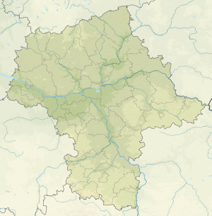
The Zdworskie Lake ( Polish Jezioro Zdworskie ) is a 327.5 hectare lake on the area of the Polish municipality of Łąck with a maximum water depth of 8.8 meters. Zwordskie Lake is the largest lake in the Masovian Voivodeship and has a volume of 804.3000 m³. Its water was classified as grade 3 in 1987. Zdworskie Lake is used as a bathing lake in summer and is surrounded by a belt of reeds on over 90% of its shore. Matyldów, Koszelówka, Zofiówka and Zdwórz are located on its banks.
Individual evidence
- ↑ Jezioro Zdworskie at geonames.org.
Web links
Commons : Zdworskie Lake - collection of pictures, videos and audio files
