
Buntentorsteinweg
| Buntentorsteinweg | |
|---|---|
|
|
|
 |
|
| Bastions 1729, front Buntentor, view to the Easter gate | |
| Basic data | |
| city | Bremen |
| district | Neustadt |
| Created | 1563/64 |
| Cross streets | Neustadt Contrescarpe , Osterstr., Hegelstr ., Kantstr ., Lehndtedterstr., Meyerstr., Geschworenenweg , Battle of Sedanstr ., Hoffmannstr., Möckernstr ., Tom pad, Viets pad, Dorotheenstr., Gneisenaustr ., Yorckstr ., Gellertstr ., peace stairs, Kirchweg , Deichschartweg , Bruchstr., Dunkakshof, Jahnstr ., Willigstr., Rose path Stenumer Str., Boßdorfstr ., Kornstr. |
| Buildings | Schwankhalle , formerly Greifapotkeke (No. 25) school on Buntentorsteinweg |
| use | |
| User groups | Tram, cars, bikes and pedestrians |
| Road design | two- to three-lane road |
| Technical specifications | |
| Street length | 2150 meters |

The Buntentorsteinweg is a historic street in east-west direction in the Neustadt district of Bremen , Buntentor district . It leads from Friedrich-Ebert-Straße / Leibnizplatz to Kornstraße and the Huckelriede district . The district of Buntentor is accessed by the three parallel streets Buntentorsteinweg, Kornstraße and Gastfeldstraße .
The Buntentorsteinweg runs parallel to the Kleiner Weser . It is divided into two large sections, from the western Friedrich-Ebert-Straße to Kirchweg / Deichschart and then to Kornstraße and Huckelriede.
Cross streets are almost only on the south side. The cross streets were u. a. named after philosophers , poets, generals, battlegrounds, building contractors (Meyer, Willig, Hoffmann), property owners (Dunkak), events (Bruchstrasse), places and field names (Lehnstedt = Lehnstätt). See also the linked names.
Buntentorsteinweg is the street with the second highest house numbers in Bremen (up to no. 594).
history
Surname
The street was named after the colorful gate from around 1620 in the Bremen city fortifications . The unadorned gate was initially called Südertor and the Neustadt was then still called Süderort . The bridge over the moat was colorful, and so at the end of the 17th century the name Bunte Brücke was also carried over to the gate. In the middle of the 18th century a gate with a triangular gable with the Bremen coat of arms was built .
development
Already in 1390 a way was mentioned as Helmigesdam at this point, which led from Bremen to the east, u. a. after Huckelriede , Habenhausen ( Hoobenhusen ) Arsten and Kattenturm in the Obervieland ( vi'lande ) as the beginning of an old army way.
In 1563/64 the earth dam was expanded as a stone road as one of the first stone roads around Bremen. The city gate stood from 1620 to 1861.
In the Neustadt there were only two passages through the wall, the Hohentor and the Buntentor, during the expansion of the Bremen city fortifications on the left side of the Weser around 1620. In 1772, the street was still referred to as Am Steinwege on Schilling's maps .
In 1819 a guard house and an excise house were built next to the gate like the Hohentor. The gate was demolished in 1861 and the guard houses were bombed in 1944. The district Buntentor and the Buntentorsteinweg got their current name.
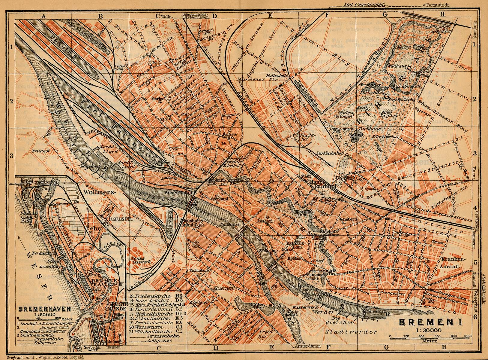
The western end of the street was originally on the corner of Osterstraße and Neustadtscontrescarpe . To the west there was still a body of water around 1910, a remnant of the former city moat. Only after it was filled in was the Buntentorsteinweg extended to the newly created Leibnizplatz.


Cigar makers: craft businesses settled on Buntentorsteinweg in the 18th century. Small houses were built for the workers. Many cigar makers lived here in the 19th century in the cigar workers' quarter. The cigar maker memorial from 1984 commemorates the residents who work in this important occupation for Bremen. The street population came from the simple classes. Heinrich Schmidt-Barrien quotes an old Low German folk rhyme for this district:
- Mien Vadder is a cigar maker,
- mien Mudder chews tobacco,
- and if you don't want to globen,
- because ick yo in a sack.
It was not until 1980/90 that social structures began to change significantly.
School on Buntentorsteinweg : From 1807 school lessons took place here in a house that was bought. In 1825 a first school building that had not been preserved was erected and in 1861 a 6-class new building according to plans by Alexander Schröder for 482 students, which had to be expanded again and again. In 1885 there were 19 classrooms for over 1200 students. Hugo Weber designed the three-story building from 1909. The new building came in 2007. Today (2018) there is a primary school with 296 students here.
In 1822 the private Buntentorsfriedhof was established as a Neustädter burial institution , which was converted into a cemetery in 1872 and taken over by Bremen in 1939/41.
Until 1882 there was an annual lamb market on the Friday before Pentecost in front of Buntorsteinweg.
In 1827 the Buntentorsteinweg and many other streets in this area were completely flooded by a flood in Bremen . In 1845 there was a dike breach in the area of today's Bruchstrasse, which is why it was named that way in 1848.
After 1870, many citizens moved to Bremen. From 1871 to 1890, the population in Bremen grew from 82,900 to 125,684. The city had to designate new building land and the Neustadt on the left bank of the Weser was one of the rapidly growing districts in Bremen.
In 1876 the Greifenapotke was built, one of the oldest pharmacies in Bremen.
In 1882 the Deichschart was created on Buntentorsteinweg, which was renewed in 1994.
The street section east of Kirchweg was increasingly populated from 1870 to 1890 by often simple terraced houses for working-class families. Until after the First World War, there was a mill at the end of the street, popular with poor families who bought their rye flour here.
Red House: In 1924 the KPD acquired house no. 95 in Bremen, which was then called the Red House as its headquarters for the north-west district . On March 1, 1933, shortly after the National Socialists “ seized power ” , the Red House was the target of a massive police operation, which confiscated the house. On April 13, 1933, the SA, a paramilitary fighting organization of the NSDAP , marched to the house and occupied it. Police Senator Laue transferred the house to the SA and expropriated it in May 1933. The SA renamed it Johann-Gossel-Haus in April 1933 after an SA man killed in 1931. This was also the place of torture for anti-fascists . In 1938, on the night of the Reichspogrom , the building was the starting point for the attacks and terror of the SA against the Jewish population in the Neustadt.
During the Second World War , the Buntentor district suffered only a few building losses from bombs.
In 1953 the Martinshof was built, today the main production facility of the Bremen workshop , which employs around 2,200 disabled people as a company owned by the city.
Through the renovation and expansion of the Remmer brewery, which was a vehicle fleet for a long time after 1945, the new town received the Schwankhalle event location with changing user groups in 2002 .
traffic
From 1876 a horse-drawn tram ran through the street to Kirchweg and from 1884 on to Arsterdamm , which was electrified around 1900. From 1914 to 1967 line 4 of the Bremen tram went to Horn , from 1967 line 1 was initially only to Blockdiek and from 1968 to Osterholz, since May 1998 it has been again line 4 towards Horn and beyond, since 2014 extended to Lilienthal- Falkenberg. In the other direction, the Arsterdamm terminus was abandoned in 1973 and the route was led via the newly created Huckelriede transfer station on a road-independent railway to Arsten- West, where it was extended a short distance to Arsten-Süd in December 1998, both terminals are usually only "Arsten" is called.
Buildings and facilities
On the street there are mostly two to three-story and some one- and four-story buildings, which are mostly residential and residential / commercial buildings.
Architectural monuments and sculptures
- No. 65: Cemetery and tombstones of the Buntentorsfriedhof from 1822, formerly the non-church Neustädter burial institution
- Corner of Kirchweg: Monument to the Bremen cigar makers from 1984 modeled in bronze by the sculptor Holger Voigts.
- Peace stairs designed in 2007 by Joachim Fischer
- No. 245: 2-sch. Classical school building from 1861 according to plans by Alexander Schröder and Hugo Weber with 3-tier. 8-class new building on Hardenbergstrasse from 1909 and gym from 1890
Other noteworthy facilities and buildings
- West side: Neustadtswallanlagen with the centaur fountain from 1891, which has stood here since 1958.
- No. 25/27: 3-ply Residential and commercial building of the former Greifapotheke from 1876, today the commercial building of the Kukoon cultural center
- No. 84: 3-sch. older (around 1910) residential corner building sun house with 4- storied . defining corner formation by turrets and 4-tier. newer (2017) youth hostel of the Arbeiterwohlfahrt (AWO)
- No. 94: Bremen workshop with Martinshof from 1953
- No. 95: 3-sch. Office building from around 1900: 1924 to 1933 Red House of the KPD ; Johann-Gossel House of the National Socialists from 1933
- No. 112–120: The Schwankhalle in the buildings of the former Wilhelm Remmer brewery from 1903/04 with the Bremen City Gallery and apartments for the elderly; Conversions and additions from 2002 based on plans by Manfred Schomers
- No. 145: 2-sch. Baroque gabled house; Schnürschuh Theater from 1976 with an auditorium with 99 seats
- No. 149: The day care center Kinderhaus Arche from 1990 of the St. Jakobi parish
- No. 171: 4-sch. Residential and commercial building from 2016 based on plans by Hilmes Lamprecht (Bremen) for LPB Immobilien; Recognition at the Bremen Housing Award 2018
- No. 245: 2/3 cut. Primary school for around 250 students
- At no .: 268: The Deichschart
- At the eastern end: the Huckelrieder Park
See also
literature
- Rudolf Stein : Classicism and Romanticism in the architecture of Bremen. Part 2: The suburbs and the urban estates, Vegesack and Bremerhaven. Hauschild, Bremen 1965.
- Herbert Black Forest : The Great Bremen Lexicon. 2nd, updated, revised and expanded edition. In two volumes. Edition Temmen, Bremen 2003, ISBN 3-86108-693-X (first edition: 2002; supplementary volume A – Z. 2008, ISBN 978-3-86108-986-5 ).
- Monika Porsch: Bremen Street Lexicon. Revised complete edition. Schünemann, Bremen 2010, ISBN 978-3-7961-1969-9 .
Individual evidence
- ^ Weser-Kurier dated February 26, 2017.
- ↑ Monika Porsch: Bremer Straßenlexikon .
- ↑ City map of Bremen 1910
- ↑ from Monika Porsch: Bremer Straßenlexikon, Volume 2 - Neustadt
- ^ The rise of the NSDAP to power in Bremen in 1933 . Schünemann, Bremen 1966.
- ^ Herbert Schwarzwälder: History of the Free Hanseatic City of Bremen , Volume III and IV. Edition Temmen, Bremen 1995, ISBN 3-86108-283-7 .
- ↑ Karin Mörtel: "Jump" into adult life . In Weser-Kurier on Nov. 2, 2017.
- ↑ Architecture Guide Bremen: b.zb: 298
Coordinates: 53 ° 3 ′ 35 " N , 8 ° 48 ′ 43" E