Plaine Magnien: Difference between revisions
Content deleted Content added
| Line 73: | Line 73: | ||
* [[List of airports in Mauritius]] |
* [[List of airports in Mauritius]] |
||
* [[List of places in Mauritius]]<mapframe latitude="-20.336901" longitude="57.531281" zoom="2" width="200" height="100" align="right" /> |
* [[List of places in Mauritius]]<mapframe latitude="-20.336901" longitude="57.531281" zoom="2" width="200" height="100" align="right" /> |
||
*[https:// |
*[https://www.carrental-mauritius.com Car rental Mauritius] Agency in Plaine Magnien |
||
== References == |
== References == |
||
Revision as of 10:03, 26 March 2019
Plaine Magnien | |
|---|---|
Village | |
| Coordinates: 20°25′43″S 57°39′11″E / 20.42861°S 57.65306°E | |
| Country | |
| Districts | Grand Port District |
| Elevation | 57 m (187 ft) |
| Population (2011)[1] | |
| • Total | 10,443 |
| Time zone | UTC+4 (MUT) |
| Area code | 230 |
| ISO 3166 code | MU |
| Climate | Af |
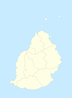
Plaine Magnien is a village in southeast Mauritius located in the Grand Port District. Saint Esprit Prestige Store, one of the most popular retail store of the village, is found on the main road near the Mauritius Commercial bank. Plaine Magnien has an all girls State Secondary School, France Boyer de la Giroday SSS. In addition, it is the birthplace of the former Governor-General of Mauritius, Dayendranath Burrenchobay. According to the Statistics Mauritius census in 2011, the population was at 10,443.[1] The village is the location of the only airport on the island, Sir Seewoosagur Ramgoolam International Airport.
See also
- List of airports in Mauritius
- List of places in Mauritius
- Car rental Mauritius Agency in Plaine Magnien
References
- ^ a b "Table G1 - Resident population by geographical location, whereabouts on census night and sex" (PDF). Statistics Mauritius. 2011: 2. Retrieved 8 September 2013.
{{cite journal}}: Cite journal requires|journal=(help)


