Storjungfrun
 Storjungfrun lighthouse | |
| Geography | |
|---|---|
| Location | Bothnian Sea |
| Coordinates | 61°10′4″N 17°20′4.5″E / 61.16778°N 17.334583°E |
| Area | 3.13 km2 (1.21 sq mi) |
| Highest elevation | 1 m (3 ft) |
| Administration | |
| County | Gävleborg |
| Municipality | Söderhamn |
| Demographics | |
| Population | none |
| Additional information | |
| Time zone | |
| • Summer (DST) | |
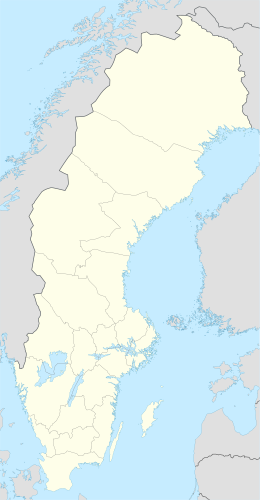
Storjungfrun (formerly Stora Jungfrun), is an island in the Bothnian Sea that was granted by the crown in 1620 to the city of Söderhamn "for pasture". The island forms a nature reserve off the coast of Vallvik.
The current name has been known since 1650. Previously the island was called Helgön.[1]
Gävle fishermen for a long time fished around the island and also built the Storjungfrun chapel. Over time, they were pushed back by the local population and eventually completely excluded. In the 1930s, there were around thirty people living in the harbor, which was significantly fewer than before.[1]
In 1838, a lighthouse with a light height of 27.5 meters above sea level was built on Storjungfrun. The lighthouse consists of a white, round, about 21.3 meter high stone tower with a black belt at the top under the lantern. It formerly also had a red middle belt. Since January 25, 1935, the lighthouse has been a listed building.[2]
The lighthouse was automated and demanned in 1964.[3]
References[edit]
- ^ a b Vedin, Per (1930). Det forntida fisket vid norrlandskusten: Gävlebohamnar under gångna århundraden (in Swedish). Gävle: Skolförl. p. 131.
- ^ "Byggnadspresentation". Swedish National Heritage Board (in Swedish). Retrieved 27 September 2023.
- ^ "Storjungfrun" (PDF). Fyr.org (in Swedish). Archived from the original (PDF) on 28 September 2007. Retrieved 27 September 2023.

