Etang de la Crouzille
| Etang de la Crouzille | |||||
|---|---|---|---|---|---|
|
|||||
|
|
|||||
| Coordinates | 45 ° 59 '17 " N , 1 ° 19' 48" E | ||||
| Data on the structure | |||||
| Construction time: | Bought by Limoges in 1926 , increased in 1947 | ||||
| Data on the reservoir | |||||
| Storage space | 1.65 million m³ | ||||
| Particularities: |
Drinking water reservoir |
||||
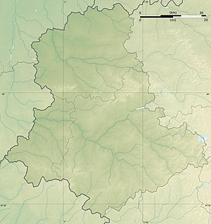
The Etang de la Crouzille , including Etang de la Pêcherie or Retenue d'eau de La Crouzille is a reservoir in the western foothills of the Massif Central , where the water supply of Limoges serves. The lake is located in the commune of Saint-Sylvestre in the Haute-Vienne department and is formed by a dam that holds back 1.65 million m³ of water. The lake is fenced and is part of the 144 hectare nature reserve Étang de la Crouzille.
The lake was bought by the city of Limoges in 1926 together with the Étang de la Gouillet to expand the water supply. After an extraordinary drought in 1949, the dam was raised to increase the capacity of the lake. Due to the uranium mining in the north of Limoges, the lake was partially polluted with radioactive sediments, which had to be removed at the end of the 1990s.
Web links
- Pierre Poumarat: La gestion de l'eau à Limoges: historique et techniques. Limoges water supply and health authority, accessed on April 23, 2015 (French, presentation on Limoges water supply).
- Monts_d'Ambazac: Étang de la Crouzille. In: Inventaire national ZNIEFF (National Register of Nature Conservation Objects). Retrieved April 23, 2015 (French).


