
Anditilos
| Anditilos (Αντίτηλος) | ||
|---|---|---|
 |
||
| Waters | Aegean Sea | |
| Archipelago | Dodecanese | |
| Geographical location | 36 ° 22 '3 " N , 27 ° 27' 40" E | |
|
||
| length | 2.7 km | |
| width | 300 m | |
| surface | 50.9 ha | |
| Residents | uninhabited | |

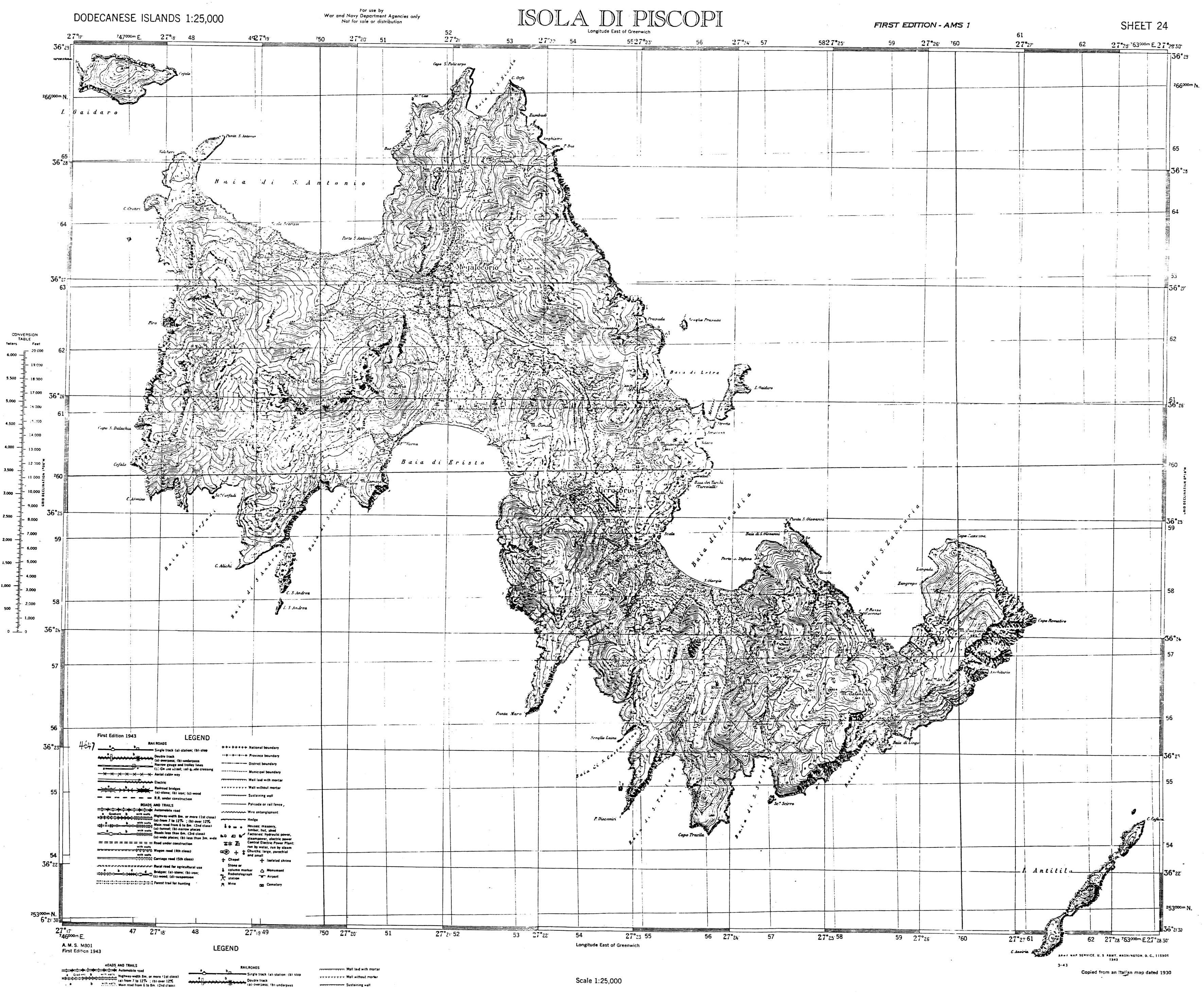
The uninhabited island of Anditilos ( Greek Αντίτηλος [ anˈditilɔs ] ( f. Sg. )), Locally the name Askina (Άσκινα ( f. Sg. )) Is common, is about 3.5 kilometers southeast of Tilos , the area is 0.509 km² . The second largest side island from Tilos to Gaidouronisi extends for about 2.7 kilometers and reaches almost 300 meters at its widest point. Sometimes the island is used to keep goats . On a map from the time of the Italian Dodecanese , the northeastern tip of the island is marked as C [apo] Cafara and the southwestern tip as C [apo] Anoiria .
See also
Web links
Commons : Anditilos - collection of images, videos and audio files
Individual evidence
- ^ Charles Arnold (ed.): The islands of the Mediterranean . A unique and complete overview. 2nd Edition. marebuchverlag, Hamburg 2008, ISBN 3-86648-096-2 .
- ↑ Map Isola di Piscopi , Italy 1930th