
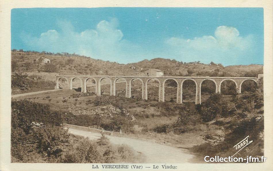
La Verdière aqueduct


The La Verdière aqueduct is a former structure used to carry drinking water in the commune of La Verdière in the Var department in southern France. Of the original twelve arches that spanned the Clos de la Sorbière valley , the northernmost one was torn down for the expansion of the D 30 to Montmeyan . Today a water pipe has replaced this historic construction.
In front of this approximately 70-meter-long structure there is a one-kilometer-long water channel that tapped the La Foux creek in the Bois de Queiraud district at an altitude of 450 meters. The brook has permanent water. The stream flows here on a clay bed between limestones. The aqueduct continued in the direction of La Verdière over a distance of approx. 600 m to a pond on the fortress wall of the castle. From there several lines were distributed to feed the wells of the village. This aqueduct was built at the end of the 17th century. The wells in the village are from the same time period.
Individual evidence
- ↑ Old postcard
- ^ Jean Nicod: Paysages et probèmes du haut-bassin de l'Argens au coeur de la Provence Verte (Var occidental) . Géographie Physique et Enviroment, Collection Ouvrages, Volume 11, 2017 (French)
Coordinates: 43 ° 38 ′ 23 " N , 5 ° 56 ′ 31" E