Jezioro Arklickie
| Jezioro Arklickie | ||
|---|---|---|

|
||
| View from Mołtajny | ||
| Geographical location | In the north of the Polish Warmian-Masurian Voivodeship | |
| Tributaries | Omet | |
| Drain | Omet (Direction All ) | |
| Location close to the shore | Kętrzyn | |
| Data | ||
| Coordinates | 54 ° 17 '27 " N , 21 ° 21' 5" E | |
|
|
||
| surface | 58.2 ha | |
| length | 1.3 km | |
| width | 800 m | |
| Maximum depth | 2.00 m | |
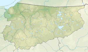
The Jezioro Arklickie ( German Arklitter See ) is a lake in Poland in the north of the Warmian-Masurian Voivodeship . The lake is about four kilometers south of the Polish state border with the Russian Kaliningrad Oblast . On the north-east bank is the village of Arklity (Arklitten) , north-west Mołtajny (Molthainen , 1938 to 195 Molteinen) and south-east Markuzy (Markhausen) . The lake has an area of 58.2 hectares with a maximum depth of two meters. The lake has a maximum north-south extension of about 1300 meters and an east-west width of about 800 meters. On the island of the lake, a burial ground was found that dates from before Christianity. The island was the subject of archaeological research between 1986 and 1991.
Web links
Commons : Jezioro Arklickie - collection of images, videos and audio files
Individual evidence
- ↑ Kętrzyn. Z dziejów miasta i okolic , Olsztyn 1978, p. 20
- ↑ ostpreussen.net, Mołtajny - Molthainen / Molteinen, Booth from 1 May 2003
- ↑ Uniwersytet Mikołaja Kopernika w Toruniu - Instytut Archeologii ( Memento from January 1, 2011 in the Internet Archive )
