Baćina lakes
| Baćina lakes | ||
|---|---|---|

|
||
| Baćina lakes, view from the Jadranska Magistrala | ||
| Geographical location | Croatia | |
| Data | ||
| Coordinates | 43 ° 4 '7 " N , 17 ° 25' 34" E | |
|
|
||
| surface | 1.38 km² | |
| Maximum depth | 34 m | |
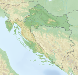
The Baćina Lakes ( Croatian Baćinska jezera ) are located in southern Croatia . There, several lakes near the village of Baćina near the town of Ploče on the right side of the Neretva delta mouth in the Dubrovnik-Neretva County form a lake landscape.
The lakes extend over an area of 138 hectares and form a cryptodepression due to their proximity to the sea .
Six of the seven lakes that are located in a karst area are connected to one another. The lakes are named Oćuša, Crniševo, Podgora, Sladinac, Vrbnik, Šipak and Plitko jezero. The largest lake in terms of area is the Oćuša. The lakes are between 5 and 34 meters deep. Lake Crniševo is the deepest at 34 meters.
Web links
Commons : Baćinska jezera - collection of images, videos and audio files
