Berry Hill Fort
Coordinates: 52 ° 1 ′ 15.3 " N , 4 ° 48 ′ 52.4" W.
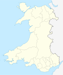
Inland Promontory Fort Berry Hill Fort (also called Berry Hill Wood) is located 1.5 km east of Newport , in Pembrokeshire , Wales . It was discovered in aerial photography in a field in 1984 and examined from 2006. A geophysical survey provided additional information.
The long oval Promontory Fort (40 × 55 m) is defined on the long south and the short east side by the steep slope of the hill, on the north and west side by a wide moat with weak evidence of a rampart, which at least on part of the The west side ran where the only access to a width of 11 m interrupts the trench. The excavation focused on the access, short sections of the moat and rampart and a small area inside near the access.
The round-bottomed trench was cut into the rock. To the north of the entrance it was 4.5 m wide and 2.0 m deep, on the south side it was 4.0 m wide and 2.5 m deep. Here, however, it quickly reaches a depth of only a little more than a meter and then the surface. It seems as if the moat on the south side was left unfinished. The sanded-down wall remains on the inside of the trench, where it only survived north of the entrance at a height of 0.1 m. Four post holes indicate either two phases with a simple gate construction or, more likely, one phase with a slightly more complex gate construction. One of the post holes cut a palisade foundation .
Apart from a line of pits or post holes and an indication of a hearth, no archaeological finds have been discovered in the interior of the fort near the gate. 21 pieces of perforated slate that may have been weights were found alongside fragments of flint and bone. However, there were no artifacts that made dating possible. Overall, the excavations indicate that the fort either remained unfinished or was only used for a short time.
Web links
- Excavation report, pictures + sketches (PDF file; 8.22 MB)
