Bessieres Island
| Bessieres Island | ||
|---|---|---|
| LANDSAT satellite image of Bessieres Island | ||
| Waters | Indian Ocean | |
| Geographical location | 21 ° 31 '29 " S , 114 ° 45' 46" E | |
|
|
||
| length | 1.1 km | |
| width | 800 m | |
| surface | 55 ha | |
| Residents | uninhabited | |
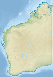
Bessieres Island is a small island 23 kilometers off the coast of north-western Australia . It is uninhabited, but there is a lighthouse . Administratively, the island is part of the Ashburton Shire .
credentials
- ↑ www.environment.gov.au ( Memento of the original from October 21, 2012 in the Internet Archive ) Info: The archive link was inserted automatically and has not yet been checked. Please check the original and archive link according to the instructions and then remove this notice. (PDF file; 98 kB)

