Binongko
| Binongko | ||
|---|---|---|
| Waters | Banda Lake | |
| Archipelago | Tukang Besi | |
| Geographical location | 5 ° 55 ′ S , 124 ° 2 ′ E | |
|
|
||
| length | 19 km | |
| width | 8.6 km | |
| surface | 99.64 km² | |
| Highest elevation | Gunung Batiwa 232 m |
|
Binongko is an Indonesian island. It is the southernmost island in the Tukang Besi archipelago .
geography
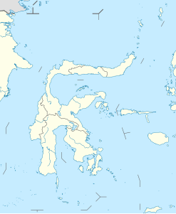
Binongko is located in the Banda Sea , southeast of the island of Sulawesi . The island belongs to the administrative district (Kabupaten) Wakatobi ( Sulawesi Tenggara Province ).
