Bremer Island
| Bremer Island | ||
|---|---|---|
| Waters | Gulf of Carpentaria | |
| Geographical location | 12 ° 6 '22 " S , 136 ° 48' 41" O | |
|
|
||
| length | 7.7 km | |
| width | 3 km | |
| surface | 16 km² | |
| Highest elevation | 29 m | |
| Residents | 25th 1.6 inhabitants / km² |
|
| main place | Gutjangan | |
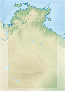
Bremer Island , named after Sir James J. Gordon Bremer , or Banu Banu or Dhambaliya in the local language, is located in the north-west of the Gulf of Carpentaria 3.4 km off the northeast tip of Arnhem Land ( Cape Wirawawoi ) in the northern territory of Australia . It is 7.7 km long and up to 3.0 km wide and has an area of around 16 km². The mining town of Nhulunbuy is 5 km away on the mainland of Arnhem Land. The island is inhabited by about 25 Rirratjingu , a clan of the Yolngu people. The small settlement ( family outstation ) in the north of the island near the airfield is called Gutjangan (formerly: Bremer Island North ).
Alcohol consumption is prohibited on Bremer Island. Only tourists are allowed to consume alcohol in small quantities. A maximum of eight tourists are allowed to stay on the island at the same time.
The island is surrounded by a beach where sea turtles lay their eggs in the sand. Bremer Island is also a habitat for many birds. 4.5 km to the east are the East Bremer Islets, a group of small rocky islands with a chain oriented precisely from north to south.
