Buttercup Island
| Buttercup Island | ||
|---|---|---|
| Waters | Indian Ocean | |
| Archipelago | Montebello Islands | |
| Geographical location | 20 ° 29 ′ S , 115 ° 32 ′ E | |
|
|
||
| length | 660 m | |
| width | 130 m | |
| Highest elevation | 6 m | |
| Residents | uninhabited | |
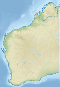
Buttercup Island is an uninhabited island in the Indian Ocean off the coast of the Australian state of Western Australia . The island is part of the Montebello Islands . It is 79.7 kilometers from mainland Australia.
It is 660 meters long, 130 meters wide and six meters high. The neighboring islands are called Ivy Island , Sida Island and Foxglove Island .
Individual evidence
- ↑ Buttercup Island Aroundguides.com (English). Last accessed on August 23, 2017
