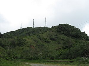
Cerro de Punta
| Cerro La Punta | ||
|---|---|---|
| height | 1338 m | |
| location | Puerto Rico , United States | |
| Mountains | Cordillera Central | |
| Coordinates | 18 ° 10 '22 " N , 66 ° 35' 24" W | |
|
|
||
At 1338 m, Cerro de Punta is the highest mountain in the US suburb of Puerto Rico . It is part of the Cordillera Central mountain range . The mountain lies in the territory of the municipality of Ponce .
Individual evidence
- ↑ Cerro La Punta, The High Point of Puerto Rico. Retrieved February 7, 2013 .

