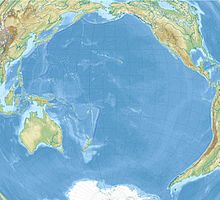
Ernest Legouvé Reef
Coordinates: 35 ° 12 ′ S , 150 ° 40 ′ W
The Ernest Legouvé reef was reported as discovered in 1902 by the captain of the French ship Ernest Legouvé, whose name is unknown, at 35 ° 12 'S, 150 ° 40' W. Its length was estimated to be about 100 m; another reef was sighted nearby. Its existence has not been confirmed or clearly refuted to this day. Therefore, for safety reasons, it will continue to be recorded on nautical charts .
Since the existence of the Ernest Legouvé reef, like that of the Maria Theresa reef, is uncertain, it is listed in some atlases, not in others. It is said to be south of the Austral Archipelago in the Pacific Ocean . Its location away from any normal shipping routes is a major reason for the insufficient verification of its existence.
See also
Individual evidence
- ^ Pacific Islands Pilot / United States Hydrographic Office; Washington, DC 1916, p. 56
- ↑ Doubtful hydrographic data = Données hydrographiques douteuses, Pt. E: South Pacific Ocean; Monaco 1968 (3rd ed.) (Special publication / International Hydrographic Bureau; 20), p. 69, no. 423.40 / 02
- ↑ z. B. in: Knaur's Great World Atlas, 18th corr. Ed., Licensed edition; 1999, plate 122

