Flagstaff Lake, Maine
| Flagstaff Lake | |||||||
|---|---|---|---|---|---|---|---|
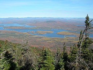
| View from Mount Bigelow on Flagstaff Lake | |||||||
|
|||||||
|
|
|||||||
| Coordinates | 45 ° 11 ′ 0 ″ N , 70 ° 15 ′ 0 ″ W | ||||||
| Data on the structure | |||||||
| Data on the reservoir | |||||||
| Altitude (at congestion destination ) | 349 m | ||||||
| Water surface | 82 km² | ||||||
| Reservoir length | 20 km | ||||||
| Maximum depth | 14.6 m (mean depth 5.5 m) | ||||||
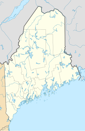
The Flagstaff Lake is a reservoir in Somerset County and Franklin County in the US state of Maine . Shortly before the lake, the North Branch Dead River and the South Branch Dead River meet and form the Dead River .
Until the Long Falls Dam was built in 1950, the lake was smaller than it is today. The dam created the reservoir, which was created mainly for the use of hydropower . The lake is home to the former townships Flagstaff , Bigelow , Dead River and Carrying Place , which had to be abandoned before damming.
Especially during times of drought having Flagstaff Lake a relatively low water level . The deepest point of the lake is 14.6 meters.

