Formosa (Guinea-Bissau)
| Formosa | ||
|---|---|---|
| Waters | Atlantic Ocean | |
| Archipelago | Bissagos Archipelago | |
| Geographical location | 11 ° 29 ′ N , 15 ° 58 ′ W | |
|
|
||
| length | 19.935 km | |
| width | 10.4 km | |
| surface | 140 km² | |
| main place | Abu | |
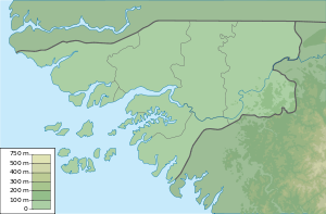
Formosa , also called Urok in the local Bidyogo language , is an island in the northwestern part of the Bissagos Archipelago . It is located off the coast of Guinea-Bissau in the Atlantic Ocean in the immediate vicinity of the west coast of the northern half of Africa . The island is part of the Caravela sector and to the north of the island are the islands of Ponta and Maio and to the south of it the islands of Enu and Edana , which also belong to the Caravela sector. The area of the island is 140 km².
Individual evidence
- ↑ tutiempo.net , Ilha Formosa
- ↑ geographic.org , Ilha Formosa: Guinea-Bissau
