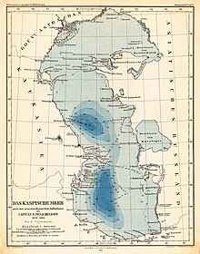
Waters map
Waterway maps show the conditions and properties of flowing and standing water in a cartographic manner.
The basis of the waterway maps is the waterway network as it is recorded in topographic maps . Further entries are e.g. E.g .: water catchment areas , discharge volumes and flow velocity . Furthermore, physical water properties or facts about the groundwater distribution are also illustrated in certain waterway maps.
The basics for the waterway map are recorded during the waterway survey.
swell
Herbert Wilhelmy: Cartography in brief . 5th edition, Verlag Ferdinand Hirt, Unterägeri 1990. ISBN 3-266-03065-6 . P. 290ff
