Grassy Key
| Grassy Key | ||
|---|---|---|
| Waters | Gulf of Mexico | |
| Archipelago | Florida Keys | |
| Geographical location | 24 ° 45 '39 " N , 80 ° 57' 17" W | |
|
|
||
| length | 5 km | |
| width | 1.3 km | |
| surface | 3,650 593 km² | |
| Residents | 974 (2000) 267 inhabitants / km² |
|
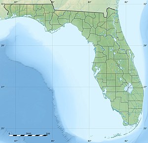
Grassy Key, Florida is an island. It belongs to the Middle Keys of the Florida Keys . The Overseas Highway runs across the island . Grassy Key is at MM57-60, between the Conch Keys and Fat Deer Key . It is the northernmost island over which the city of Marathon (Florida) extends.
According to the 2000 census, the island comprised blocks 2045 to 2116 of the Census Tract 9710 in Monroe County (Florida) . These resulted in a total population of 974 in an area of 3.65 km².
History of the name
In the records of Johann Wilhelm Gerhard von Brahm from 1772, Grassy Key was referred to as "Ellis Island". In the handwritten records of FH Gerdes from 1849 the island was already called "Grassy Keys". The name Grassy Key also appears in the records of the fire on the ship Concordia in 1855. The name of the island is said to come from an old settler, not from the grass cover.
The Dolphin Research Center is on Grassy Key at MM59.
literature
- The de Brahm Charts of the Atlantic Ocean, 1772–1776, by Ralph H. Brown © 1938
Individual evidence
Web links and sources
- History of the keys on keyhistorie.org
- History of the Keys on thefloridakeys-keywest.com
